

Process
thermal data
Work with radiometric imagery directly in PIX4Dmatic.
Discover the new thermal processing capabilities in PIX4Dmatic and see how radiometric thermal imagery can support a wide range of inspection workflows. In this webinar, we’ll explore how to process thermal datasets, visualize temperature information, and generate georeferenced outputs for identifying and assessing potential anomalies.
See how PIX4Dmatic brings thermal data into a modern, streamlined processing environment, giving you the tools to turn thermal imagery into actionable results across different inspection applications.
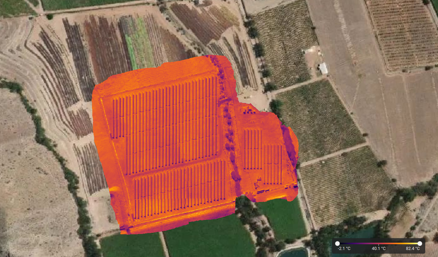

Work with radiometric imagery directly in PIX4Dmatic.

Visualize thermal data and identify potential anomalies.

Create georeferenced results for further analysis and reporting.
%20(9).png?width=500&height=500&name=Iconos%20(500%20x%20500%20px)%20(9).png)
Rhéa Garratt leads the development of Pix4D's geospatial desktop products and has focused on bringing value to users since 2017. Her background in GIS and customer service gives her extensive experience in many industries and types of applications.