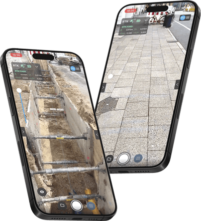
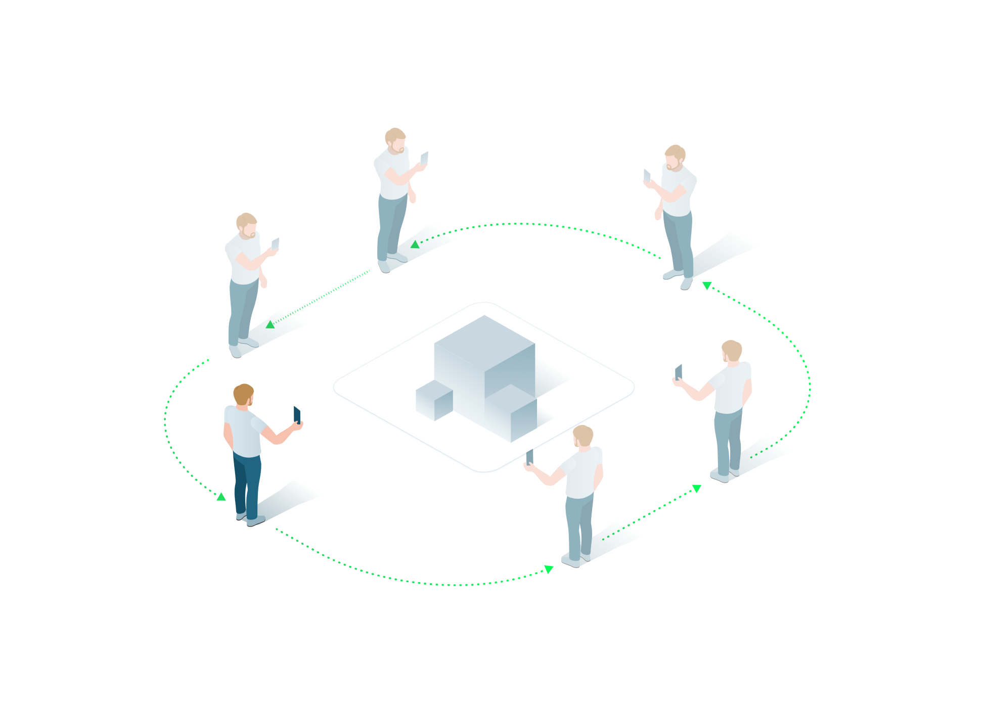
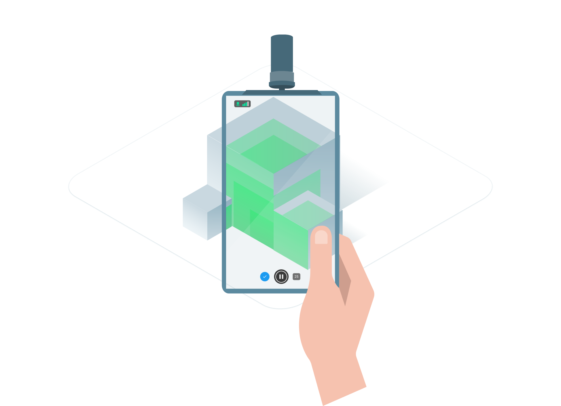
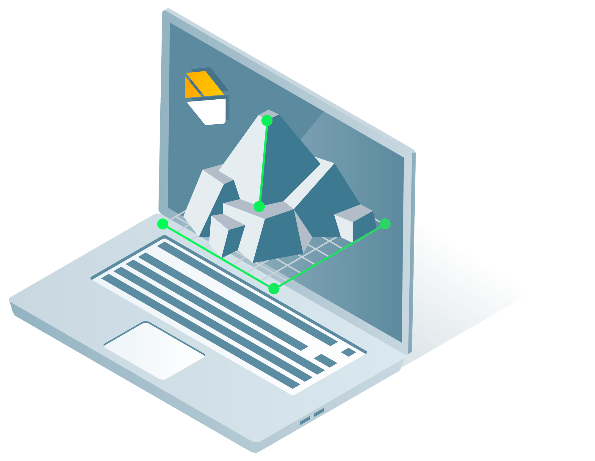
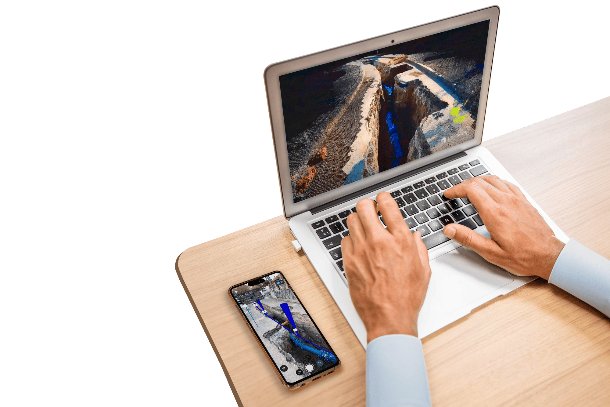
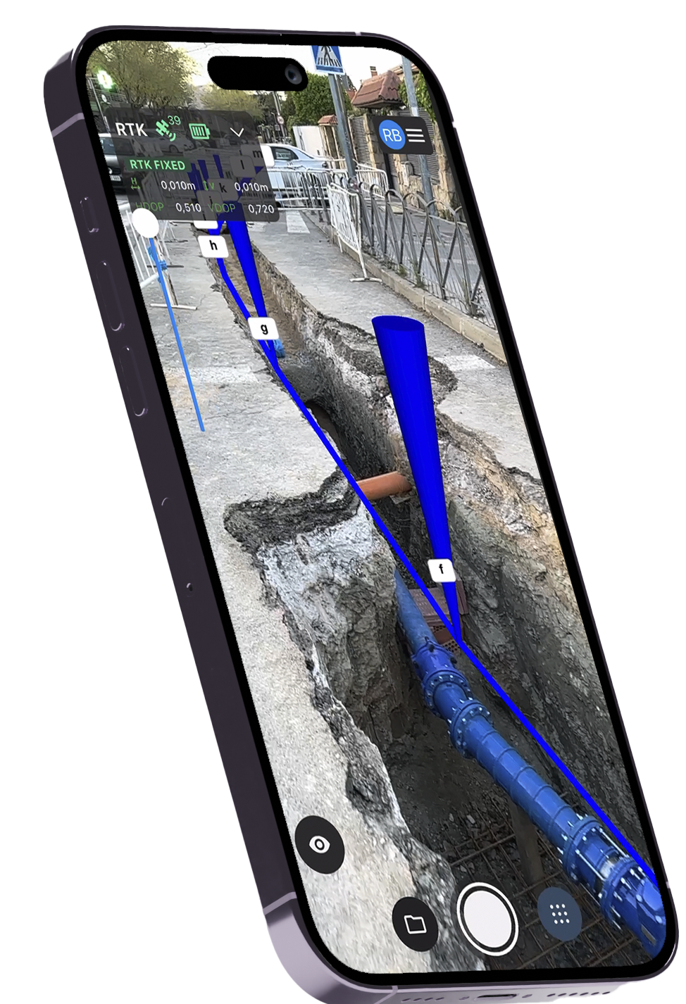
new_catch_name_dark_h-2

FASTER WORKFLOW, SMARTER RESULTS

3D scanning made easy with PIX4Dcatch. Precision at your fingertips.

Eso_surveyors_PIX4DCATCH-3 GeneralElectric_PIX4DCATCH-3 Isolation_PIX4DCATCH-2 logo_sony_PIX4DCATCH-1 pwc_PIX4DCATCH-1 veris-australia-logo-PIX4DCATCH-1

Document Every Detail, Meet Every Standard

Turn Your Construction Documentation into Actionable 3D Models with PIX4Dcatch.

PIX4Dcatch SUE successes

Georeferenced 3D Scanning for Pipeline Construction

Transform your iPhone into a powerful photogrammetry and LiDAR tool delivering accurate 3D point clouds and models with RTK GPS precision.

Task 3.1_FEATURES_IPHONE

Processing Made Easy: Cloud or Full Control

Choose fast cloud processing or full control with PIX4Dmatic for precision in surveying, construction, and more.

Untitled (1)-1

Innovative AR features

Bring 3D point clouds to life with augmented reality, delivering real-time precision for seamless route planning.

Task 3.4_FEATURES_AR

Ease of use

Seamlessly capture with PIX4Dcatch and RTK—effortless precision from field to finish.


Recurso 4-1

RTK Precision, Centimeter-Accurate 3D Scanning

Achieve absolute centimeter accuracy in your 3D models with PIX4Dcatch and RTK GPS—Detailed 3D point cloud capture for digital surveying

Task 3.3_FEATURES_RTK-2
Frame 14

Capture ground data

Walk around the area of interest, and PIX4Dcatch automatically captures video frames with precise positional and orientation data for seamless 3D scanning and photogrammetric accuracy.

Frame 16

Ensure completeness

Get real-time AR feedback with a 3D mesh overlay and live point cloud viewer, enhancing LiDAR scanning and ground sampling accuracy.

Frame 13

Flexible Capture Control

Pause your scan whenever needed, and the live viewer will keep displaying the areas you've already covered, ensuring smooth progress.

WORKFLOW ILLUSTRATION_4

Seamless Export and Processing

Upload the captured images to PIX4Dcloud or export them to PIX4Dmapper or PIX4Dmatic to generate precise, measurable 3D models and detailed point clouds with ease.

Clients
1826
Scans
537
Projects
4967

Your Phone,

Your Scanner

Pro-level precision for pipeline construction and scan-to-BIM, anywhere. Discover How PIX4Dcatch benefits professionals.

Processing options PIX4Dcatch-1
An innovative solution for getting accurate measurements and analyzing spatial information. PIX4Dcatch and the Leica Zeno FLX 100 plus really complement each other.
Leica_Geosystems_Logo.svg
Cindy Teeven, Product Engineer
Leica Geosystems
Trimble Catalyst delivers GNSS-based centimeter-level position accuracy to mobile devices, which is critical for the precise capture of geospatial data. By upgrading the Pix4Dcatch’s compatibility, users can now document a scene with rich reality capture data with greater flexibility.
Trimble-logo
Gareth Gibson
Mapping and GIS marketing director Trimble
Using a scanning tool along with high accuracy RTK provides a facility for governments and municipalities to record all the information especially if they got open trenches. We have a big problem that a lot of stuff is on paper and it isn't well documented, this is a tool, it's just fabulous
bmMko_GWQZwYQL8Pv-Bc-
Larry Fox
VP Marketing and Business Development, Bad Elf
You can open the trench, scan it and be ready to close without the need of waiting for the surveying crew and measuring everything. That improves the speed for them and for those in the office they have full clarity of what has actually happened in the field.
Emid-logo-transparent
Igor Vereninov
Co-Founder and CEO, Emlid

Frequently asked questions

Take the next step!

Fill out the form and our Sales Team will get in touch !