From PIX4Dmapper to Marvel
Exclusive offer for PIX4Dmapper users
Buy now and enjoy a 50% discount on the purchase of your joint annual license for these two programs!

Process Smoothly with PIX4Dmatic
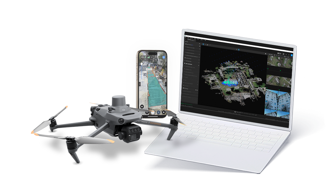
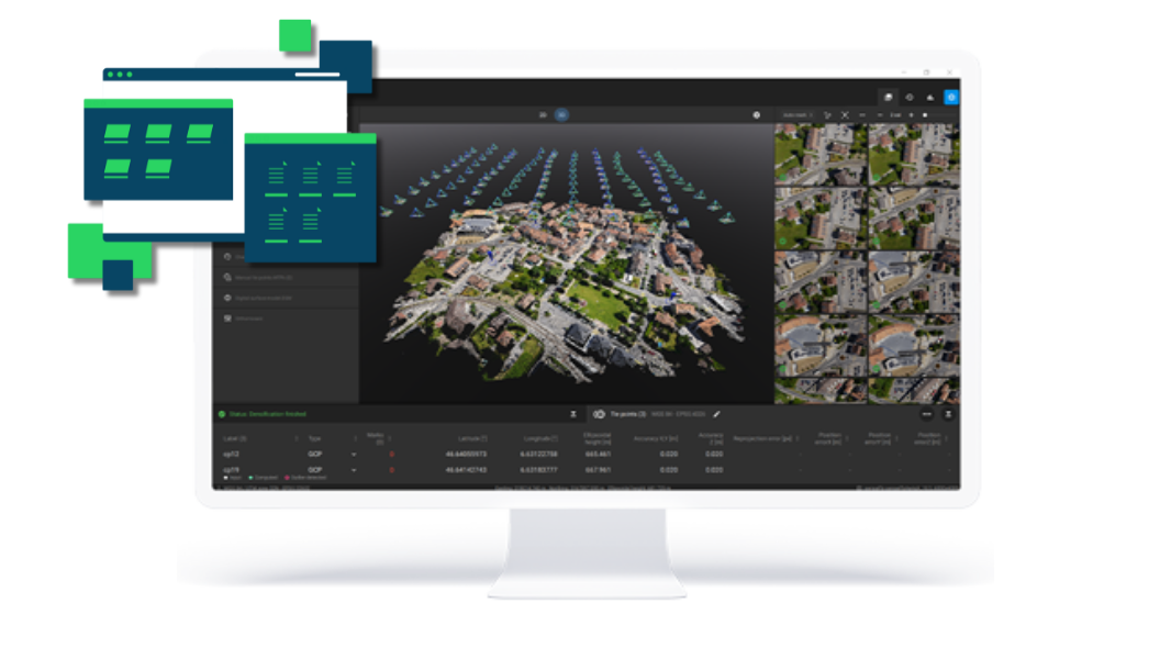
Capture high-res images of your area, then import them into PIX4Dmatic to generate precise point clouds and orthomosaics. With advanced georeferencing, you’re set up for accuracy right from the start.

Clean and Export in PIX4Dmatic
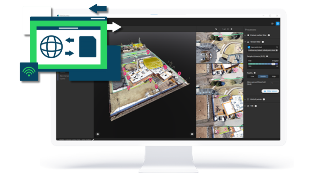
Use PIX4Dmatic to filter out noise and focus on essential data, then export in ready-to-use formats like .las or .laz. This ensures a smooth transition to PIX4Dsurvey for efficient analysis.

Data to Insights with PIX4Dsurvey
Import the refined data into PIX4Dsurvey to vectorize and model key features. Export high-quality deliverables, ready for GIS, CAD, and reporting, turning your data into actionable insights.
FAQS
All you need to know about Mapper to Marvel
-
What is Mapper to Marvel?
This is a special promotion that offers an exclusive bundle, only for PIX4Dmapper license holders.
-
Who can benefit from it?
This promotion applies to eligible businesses and clients within North America, Latin America, Europe, the Middle East, and Africa.
-
What is the validity period?
This promotion will be available until December 31; however, Pix4D reserves the right to end or extend it at any time without prior notice.
-
How can I redeem the offer?
To redeem the offer, simply click the buy button and follow the instructions. You’ll need to be logged into your Pix4D account to view prices and complete your purchase.
-
How can I see the final price of bundles with the discount applied?
To see the final price, simply click the buy button and follow the instructions. You’ll need to be logged into your Pix4D account to view prices and complete your purchase.
-
What should I expect after I redeem the offer?
The purchase of these bundles will function like any other transaction within our e-commerce platform. After payment, you will receive direct access to the programs included in your bundle. Please note that the bundle prices apply only to purchases made during the promotional period; any auto-renewals linked to the purchase will reflect the standard price of the programs.
-
Is there any restriction?
You must be a Mapper Licence holder (historical/current) and be a business or client inside North America, Latin America, Europe, the Middle East, and Africa business regions.
-
Can I find these bundles anywhere else?
Yes, this dedicated microsite will serve as your official e-commerce store. You can also access this offer through: Direct Sales (via our sales teams) and Resellers.
-
If I buy the programs separately I can get the discount?
The discounts in this offer can only be accessed through the bundled purchase of these programs.
-
I have more doubts, what can I do?
Don't worry! Contact us and let us know more about your inquiry. We’ll gladly help.
Mapper to Marvel Special Terms and Conditions
The Mapper to Marvel campaign runs from November 1, 2024 until December 31, 2024.
Discounts are limited to Matic-Survey (1-year) - 50% off and an exclusive offer for Matic-Survey (3-year) - 50% off.
The offer applies only to PIX4Dmapper license holders. Users must verify their current or previous status as Mapper users by providing a valid license key. Both individual users and businesses within the NORAM, EMEA, and LATAM regions are eligible to benefit from this offer. The APAC region is specifically excluded from this offer.
Please note that all purchases made through this campaign are subject to auto-renewal. Upon the expiration of the initial license period, users will be charged the original or current price of each program unless the subscription is canceled at any time in accordance with Pix4D General Terms and Conditions, which remain applicable. Users are responsible for reviewing the auto-renewal terms in the Pix4D General Terms and Conditions, and ensuring that any desired cancellation is processed in accordance with the provided guidelines.
All discounts and offers are subject to availability and may be modified or withdrawn by Pix4D at any time without prior notice. Discounts cannot be combined with any other promotions, offers, or discounts. Pix4D General Terms and Conditions apply.
For further inquiries or additional information, please contact our sales team.


.png?width=593&height=320&name=Dise%C3%B1o%20sin%20t%C3%ADtulo%20(1).png)
